ICA-ISPRS Joint Workshops 2011
Geospatial Analysis and Modelling Workshop
As part of the IRMACS 2011 Thematic Year showcasing Scientific Modelling at SFU, the IRMACS Centre is pleased to present between August 10-12, 2011, the joint workshops titled "Our Complex World: Representation, Analysis and Modeling" by the International Cartographic Association (ICA) and the International Society for Photogrammetry and Remote Sensing (ISPRS).
The workshops bring together leading researchers from relevant disciplines to address issues related to the complexity of dynamic geographical and environmental systems from a geospatial analysis and modeling perspective. The overall focus of the workshops is to examine the conceptual, technical and application challenges of complexity science as a paradigm to effectively analyze the linkages between social, economic and natural systems evolving in time and across geographic space.
The keynote speakers at the workshop are:
- Dr. Paul Torrens (http://www.geosimulation.org/) an Associate Professor, Geosimulation Research Laboratory, School of Geographical Sciences and Urban Planning, Arizona State University.
- Tim Nyerges (http://faculty.washington.edu/nyerges/) a Professor at the Deaprtment of Geography, University of Washington.
- Stewart Fotheringham (http://ncg.nuim.ie/redir.php?action=staff/staff/sfotheringham) a Science Foundation Ireland Research Professor and Director of the National Centre for Geocomputation.
The Workshop Chair and Organizer is Dr. Suzana Dragicevic, a Professor from the Department of Geography, Simon Fraser University.
Thematic Year Talks - ICA-ISPRS Joint Workshops 2011
| Time | Details |
|---|---|
| 8:45 am - 9:15 am |
Opening TalksWednesday, August 10, 2011 Workshop Chairs and ICA representative
|
| 9:15 am - 10:00 am |
Plenary Talk - Participatory Modeling Methodology: Tightening the GeoWeb Design LoopWednesday, August 10, 2011 Dr. Tim Nyerges
|
| 10:30 am - 11:00 am |
An experiment to investigate the influence DEM uncertainty on the simulation of dispersal behavior using a fuzzy decision modelWednesday, August 10, 2011 Vincent Robinson
|
| 10:30 am - 11:00 am |
Modeling complex transportation networks.Wednesday, August 10, 2011 Jingyi Lin
|
| 11:00 am - 11:30 am |
Policy simulation for planning support of downtown revitalization in Kanazawa City, JapanWednesday, August 10, 2011 Ma Yan
|
| 11:30 am - 12:00 pm |
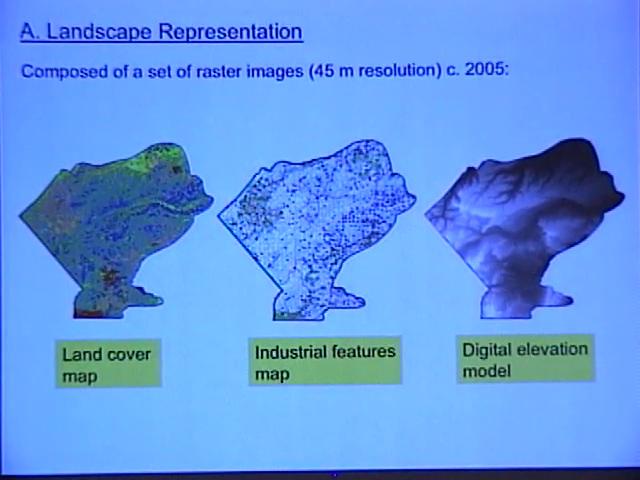
Evaluating risk effects of industrial features on woodland caribou habitat selection in west central Alberta using agent-based modellingWednesday, August 10, 2011 Christina Semeniuk
|
| 1:30 pm - 2:00 pm | |
| 2:00 pm - 2:15 pm |
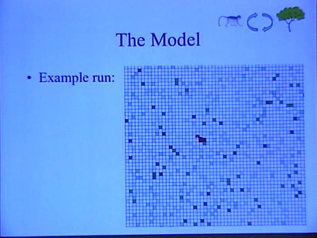
Linking Diseases to Landscapes: An Agent-Based Model simulating the impact of forest composition on the spread of disease in redWednesday, August 10, 2011 Tyler Bonnell
|
| 2:15 pm - 2:30 pm |
Development of an agent-based model for estimation of agricultural land preservation and validity of collective farming systemsWednesday, August 10, 2011 Ryohei Yamashita
|
| 2:30 pm - 2:45 pm |
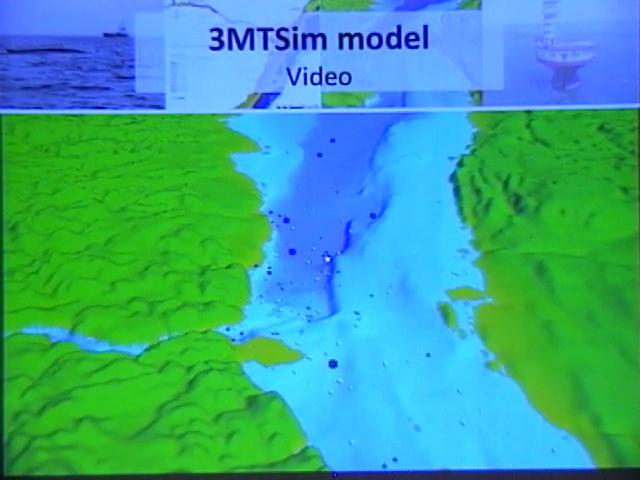
How agent-based modelling can be used to inform environmental management of a marine park.Wednesday, August 10, 2011 Clément Chion
|
| 2:45 pm - 3:00 pm |
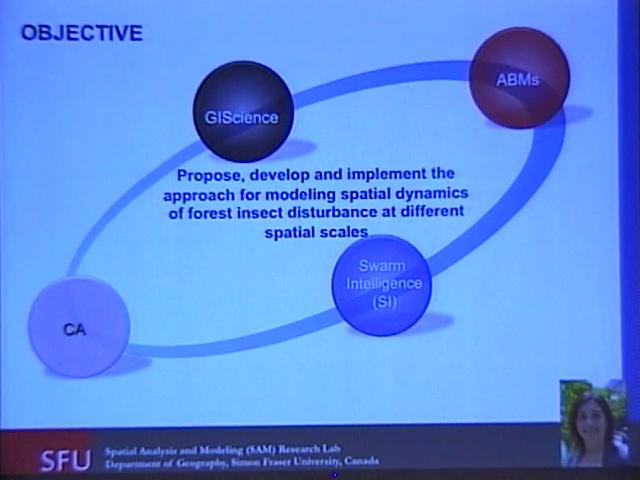
Swarm intelligence, agents and cellular automata for modeling mountain pine beetle forest disturbanceWednesday, August 10, 2011 Liliana Perez and Suzana Dragicevic
|
| 3:00 pm - 3:30 pm |
Spatial statistics model with spatial aggregation matrix avoiding the modifiable area unit problemWednesday, August 10, 2011 Makoto Tsukai
|
| 3:30 pm - 4:00 pm |
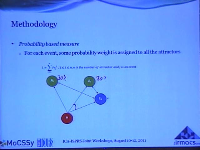
Modelling the Strengths of Attractors: Probability Measure and Possibility Measure.Wednesday, August 10, 2011 Vijay Mago
|
| 4:30 pm - 4:45 pm |
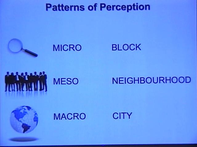
Patterns of Perception: Forecasting the perception of crimeWednesday, August 10, 2011 Valerie Spicer
|
| 4:45 pm - 5:00 pm |
Residential mobility and breast cancer in Marin County, CaliforniaWednesday, August 10, 2011 Geoffrey Jacquez
|
| Time | Details |
|---|---|
| 8:30 am - 9:00 am |
Land cover analysis with high-resolution multispectral satellite imagery and its application for the CO2 flux estimationThursday, August 11, 2011 Shih-Yuan Lin
|
| 9:00 am - 9:30 am |
Mapping the population ecumene of British Columbia: A multilevel binary dasymetric GIS methodologyThursday, August 11, 2011 Anthony Smith
|
| 9:30 am - 10:00 am |
Linking urban road network to flood disaster mitigationThursday, August 11, 2011 Guangwei Huang
|
| 10:30 am - 11:00 am |
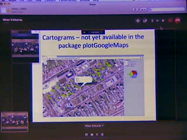
R software package Plot-Google-Maps for the web-mapping of thematic dataThursday, August 11, 2011 Milan Kilibarda
|
| 11:00 am - 11:30 am |
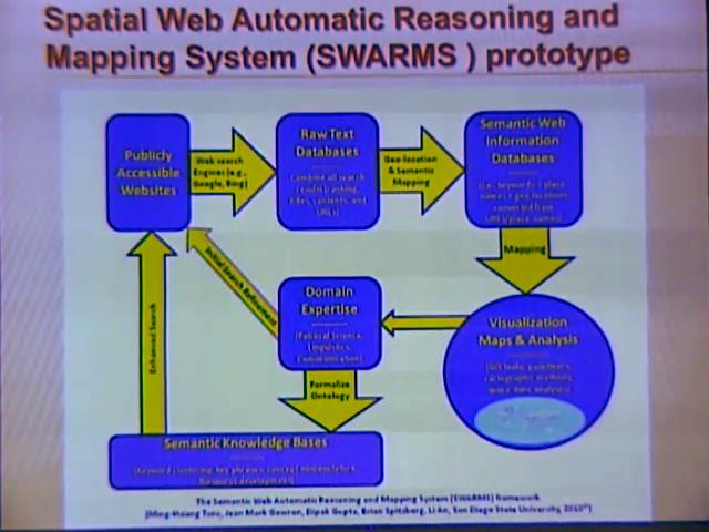
Visualizing and analyzing the spread of radical ideas on the World Wide WebThursday, August 11, 2011 Ming-Hsiang Tsou
|
| 11:30 am - 12:00 pm |
Updating road network using GPS data collected from smart phonesThursday, August 11, 2011 Songnian Li
|
| 1:30 pm - 2:00 pm |
Modeling the dynamics of physical processes as complex systems: A case of urban landslidesThursday, August 11, 2011 Terence Lai
|
| 2:00 pm - 2:30 pm |
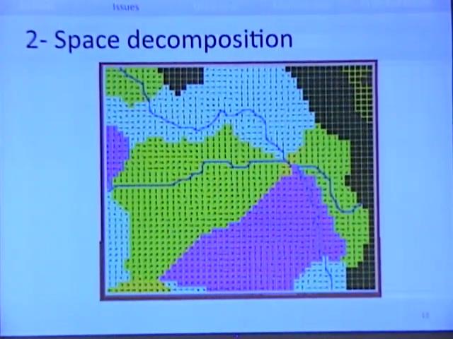
Toward a cellular automata simulation of surface water flow based on a hierarchical voronoi lattice within GIS.Thursday, August 11, 2011 Hédia Sammari
|
| 2:30 pm - 3:00 pm |
Land market dynamics in Latin American urban peripheriesThursday, August 11, 2011 Diego Silva Ardila
|
| 3:00 pm - 3:30 pm |
The influence of population dynamics on consensus building and land use policiesThursday, August 11, 2011 David Bennett
|
| 3:30 pm - 4:00 pm |
Transforming Location Intelligence through Geospatial Web-based Technologies.Thursday, August 11, 2011 Bert Veenendaal
|
| 4:00 pm - 4:30 pm |
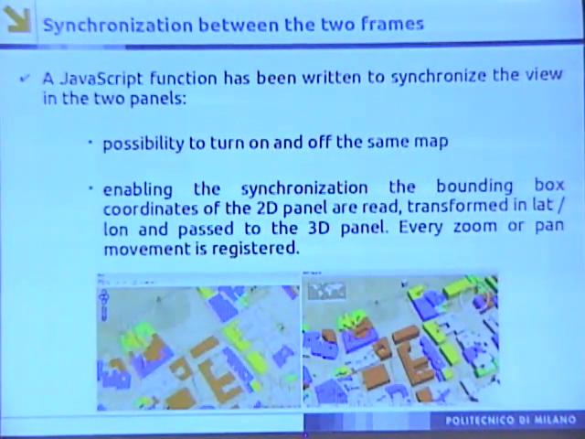
Multi-dimensional and multi-frame web visualization of historical mapsThursday, August 11, 2011 Luana Valentini
|
| 4:30 pm - 4:45 pm |
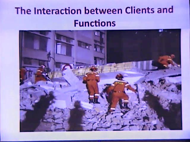
Augmented-reality GIS for interactions during emergency rescueThursday, August 11, 2011 Huang Wei
|
| Time | Details |
|---|---|
| 8:30 am - 9:00 am |
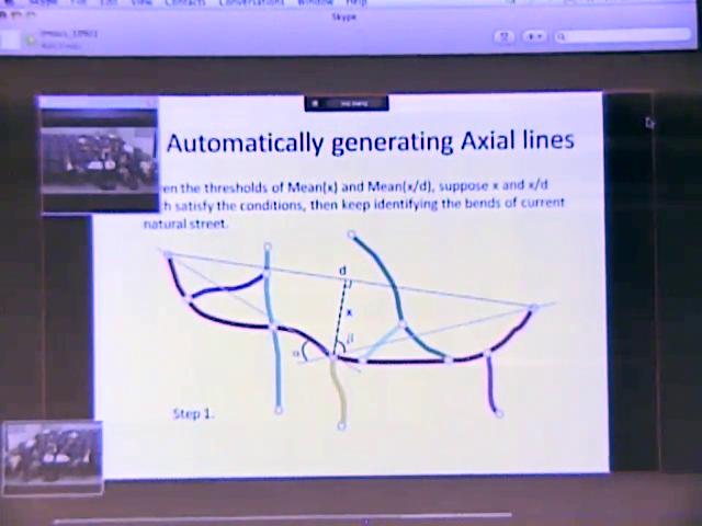
Defining and generating axial lines from street center lines for better understanding of urban morphologiesFriday, August 12, 2011 Xintao Liu
|
| 9:00 am - 9:30 am |
Communities in commuting networksFriday, August 12, 2011 Carson J. Q. Farmer
|
| 9:30 am - 9:45 am |
Visualizing design guidelines for historic landscape restoration using a virtual globeFriday, August 12, 2011 Zhenjiang Shen
|
| 9:45 am - 10:00 am |
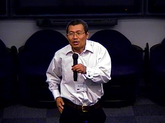
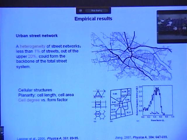
Exploring the scaling of geographic space using volunteered geographic informationFriday, August 12, 2011 Bin Jiang
|
| 10:30 am - 11:30 am |
Plenary - Moving Agents in GeosimulationFriday, August 12, 2011 Dr. Paul Torrens
|
| Attachment | Size |
|---|---|
| ICA-ISPRS Final Program Schedule (PDF) | 152.93 KB |

